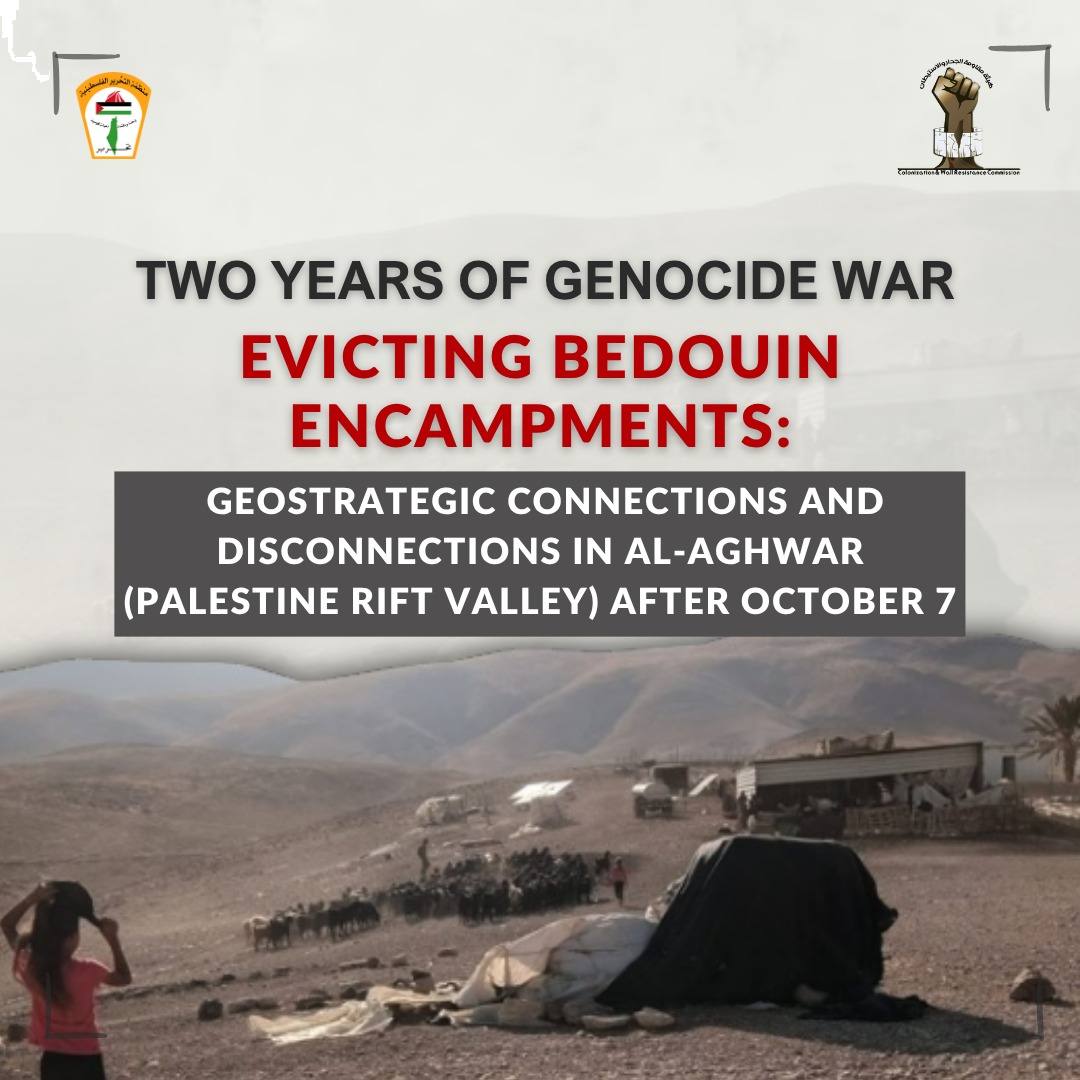
Evicting Bedouin Encampments: Geostrategic Connections and Disconnections in Al-Aghwar (Palestine Rift Valley) After October 7
The Palestine Rift Valley together with the rugged terrain that stretches along the eastern slopes of the West Bank represent the widest environment for agriculture, pasturage, and seasonal migrations for Bedouin communities. The Israeli occupation regime has for many years adopted a policy of quiet annexation of this region. Thus, vast regions are declared to be state lands. Other areas are declared closed for military training purposes or so-called “firing ranges.” Yet other areas are declared to be nature reserves, and these areas are encircled with roads, checkpoints, and modern outposts for pasture and agriculture. The Palestinian presence is thus splintered into besieged pockets while the Israeli settlements and army barracks are gradually being connected to these outposts.[1] Following October 7, 2023, this process gathered unprecedented speed and on two parallel levels: deliberate escalation of violent acts by the Israeli settlers, and the multiplication of Israeli government decrees and administrative measures that transform the facts on the ground into a new geostrategic configuration.